Portfolio
Our Pride. Our Work. Our Portfolio.
National Water Prediction Service (NWPS)
Web design
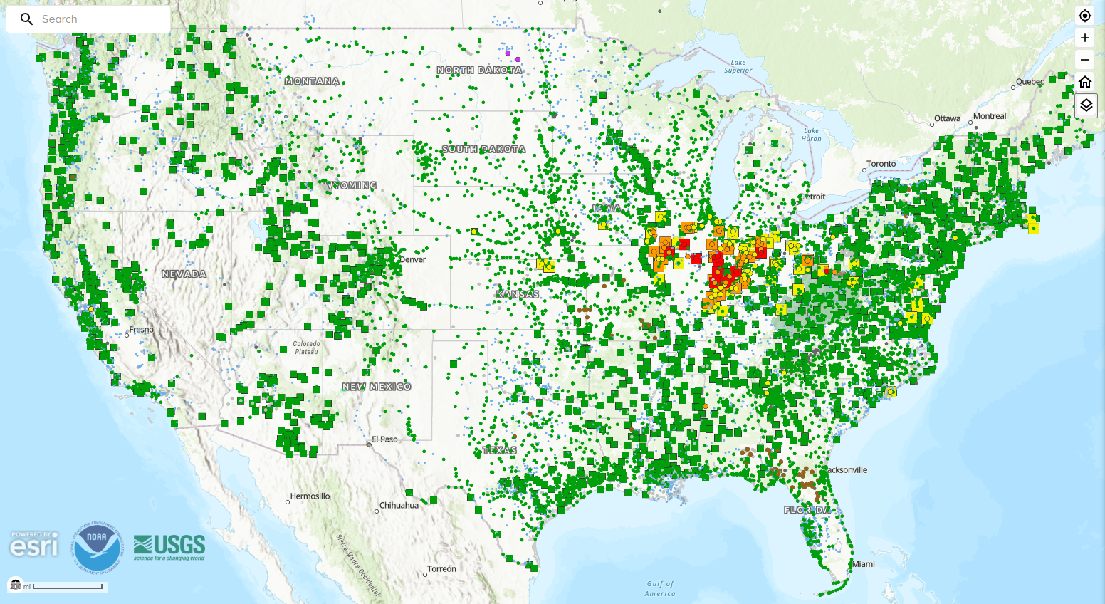
The National Water Prediction Service (NWPS) is the modern web platform from the National Weather Service (NWS) that provides live river observations, water forecasts, and flood warnings. Launched on March 27, 2024, it replaced the older Advanced Hydrologic Prediction Service (AHPS) and combined data with the National Water Center. Orion has served as the sole engineering team on NWPS, designing and implementing the platform's cloud infrastructure from the ground up and managing the full software lifecycle for nearly 5 years.
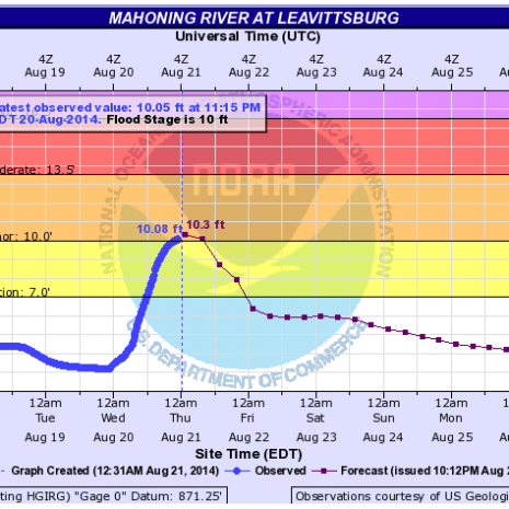
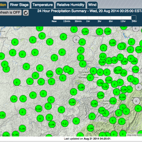
The National Water Prediction Service (NWPS) is the modern web platform from the National Weather Service (NWS) that provides live river observations, water forecasts, and flood warnings. Launched on March 27, 2024, it replaced the older Advanced Hydrologic Prediction Service (AHPS) and combined data with the National Water Center. Orion has served as the sole engineering team on NWPS, designing and implementing the platform's cloud infrastructure from the ground up and managing the full software lifecycle for nearly 5 years.
Office of Water Prediction
Web design
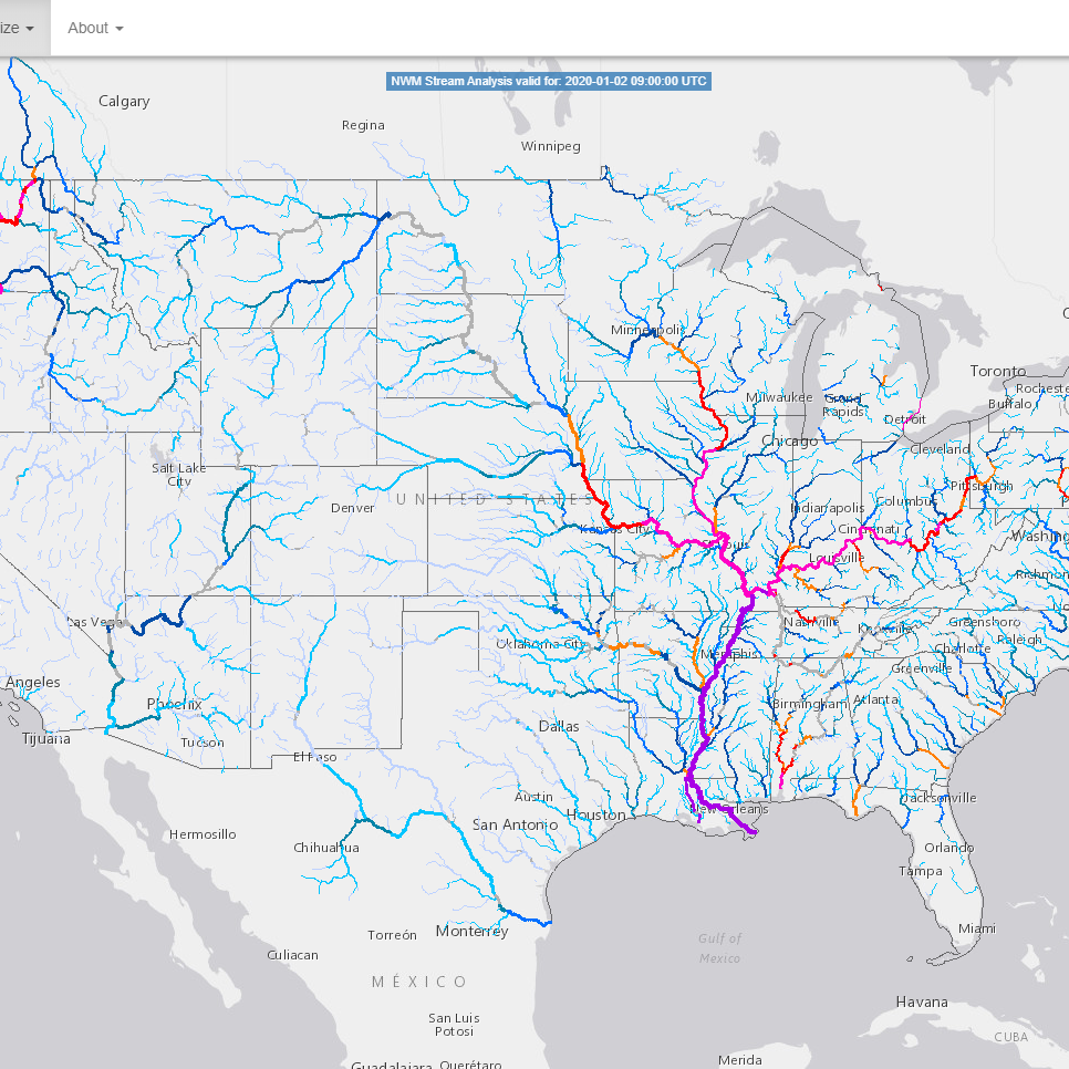
The Office of Water Prediction (OWP) is a geographically distributed organization which includes elements in Maryland, Minnesota and Alabama. The OWP is designed to support a consistent and unified hydrologic program while maximizing efficient use of resources helping to ensure the NWS excels as a science-based service organization.
The Office of Water Prediction (OWP) is a geographically distributed organization which includes elements in Maryland, Minnesota and Alabama. The OWP is designed to support a consistent and unified hydrologic program while maximizing efficient use of resources helping to ensure the NWS excels as a science-based service organization.
Local Climate Analysis Tool
Web design
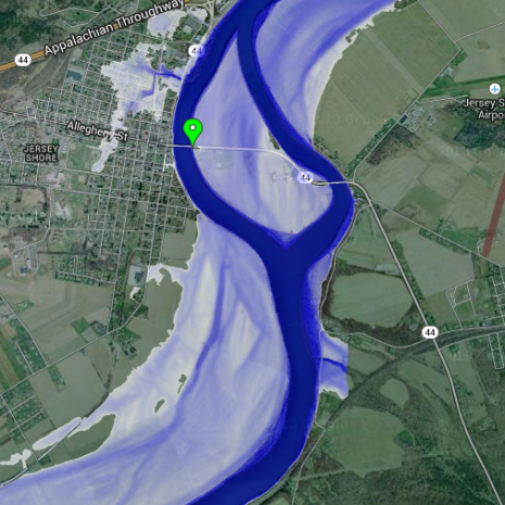
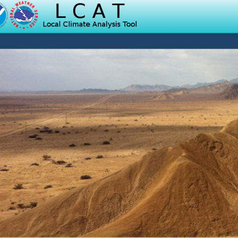
The Local Climate Analysis Tool (LCAT) provided access to climate data and methods for local climate studies to increase user expertise in climate trends in the context of global climate change, answer user inquiries and link climate to weather and water information.
The Local Climate Analysis Tool (LCAT) provided access to climate data and methods for local climate studies to increase user expertise in climate trends in the context of global climate change, answer user inquiries and link climate to weather and water information.
International Joint Commission (IJC)
Web design
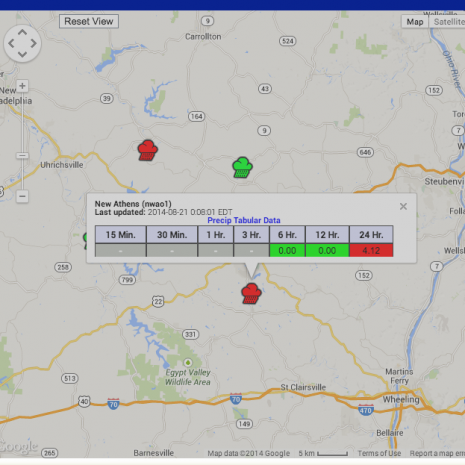
The IJC works on behalf of the governments of the United States and Canada to prevent and resolve disputes involving boundary waters. Its responsibilities expanded under the Great Lakes Water Quality Agreement, supporting the protection and management of the Great Lakes and other transboundary waters through scientific collaboration, environmental monitoring, and informed decision-making.
The IJC works on behalf of the governments of the United States and Canada to prevent and resolve disputes involving boundary waters. Its responsibilities expanded under the Great Lakes Water Quality Agreement, supporting the protection and management of the Great Lakes and other transboundary waters through scientific collaboration, environmental monitoring, and informed decision-making.