
National Water Prediction Service (NWPS)
Ongoing support and development
Project Description
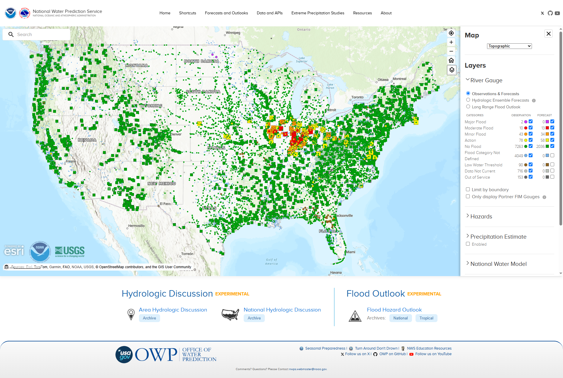
For nearly five years, Orion has served as the sole engineering team on NWPS, designing and implementing the platform's cloud infrastructure from the ground up and managing the full software lifecycle: inception, scheduling, defining acceptance criteria, ticketing, development, deployment, and testing — while continuously delivering new capabilities to support national water forecasting operations.
Project Details
Client:
National Oceanic and Atmospheric Administration (NOAA)Date:
2014-03-01Category:
Web designProject URL:
National Water Prediction Service (NWPS)Infrastructure
- AWS: Architected and deployed a scalable, secure cloud environment supporting nationwide forecasting operations
- Multi-region replication: Engineered cross-region failover and data replication to ensure high availability and disaster recovery
- Terraform: Built infrastructure-as-code pipelines for repeatable, version-controlled environment provisioning
- Monitoring: Implemented comprehensive system monitoring and alerting to maintain operational reliability
- Dockerized deployments: Containerized services for consistent, portable deployments across environments
Code
- Enterprise platform built with Golang and Svelte: Developed a modern, high-performance full-stack platform using current industry-leading technologies
- CAC-based authentication: Implemented secure, government-grade identity verification using Common Access Card credentials
Subprojects
- Atlas15: Expanded precipitation frequency estimates from a state-level pilot to full continental U.S. coverage
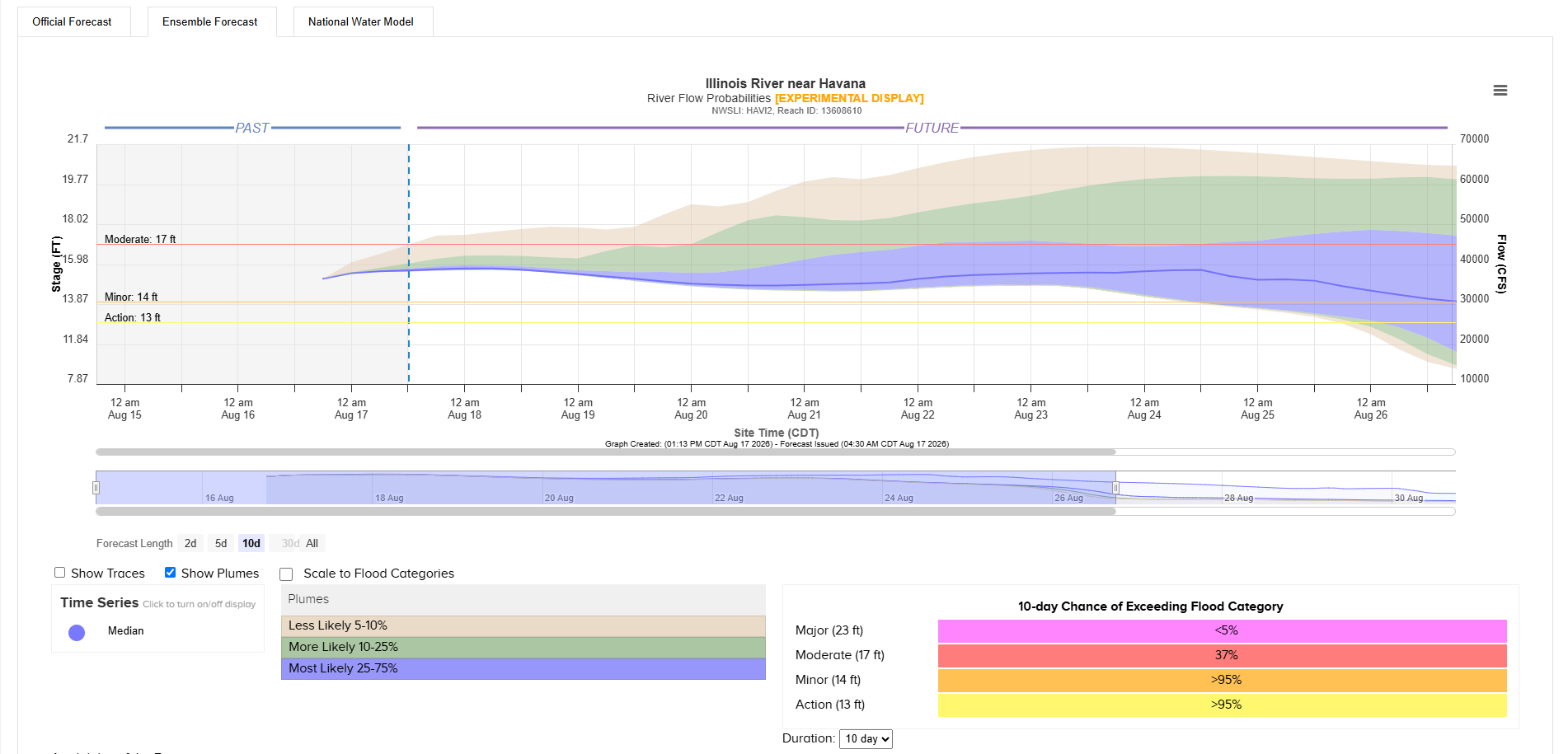
- HEFS: Integrated Hydrologic Ensemble Forecast Service data to support probabilistic water forecasting
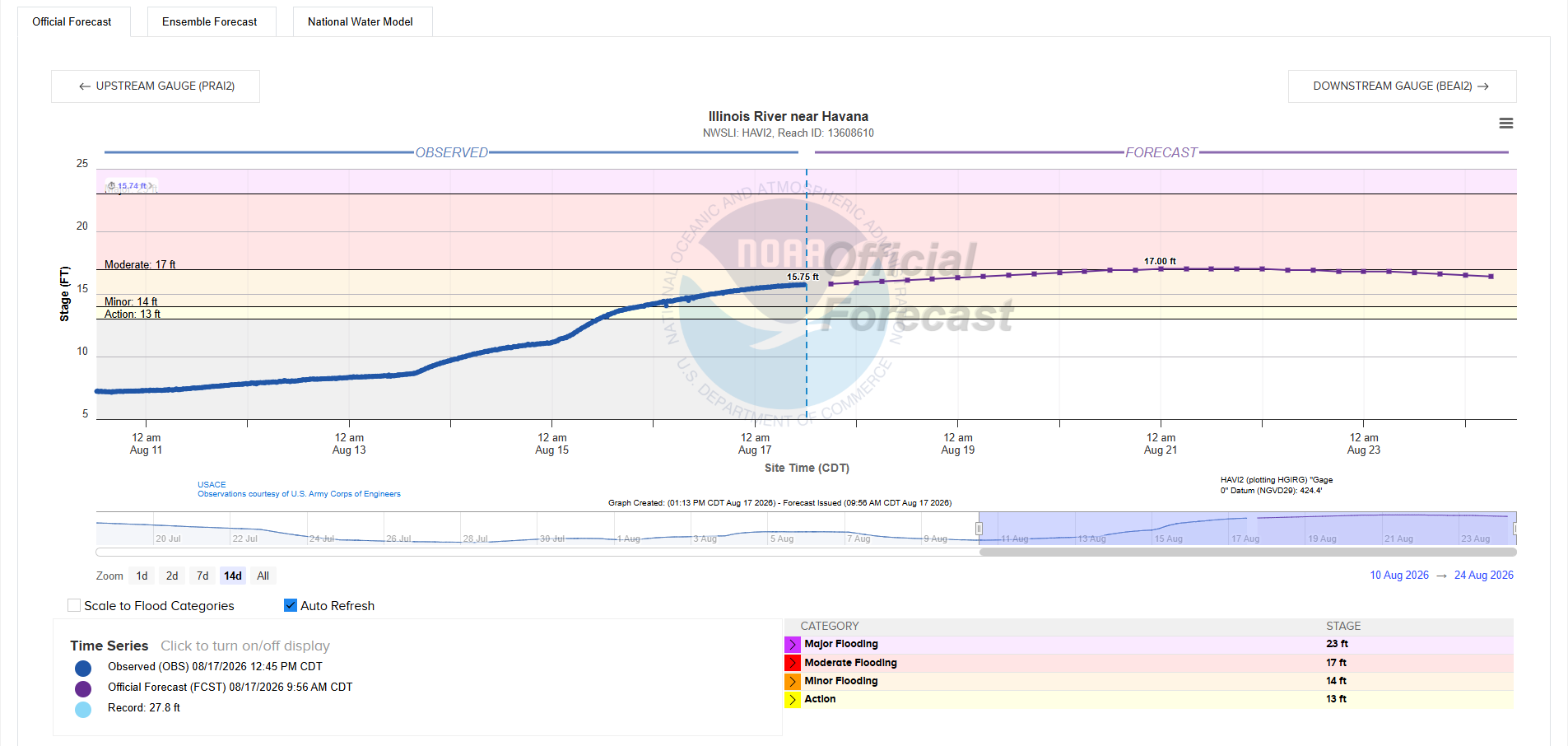
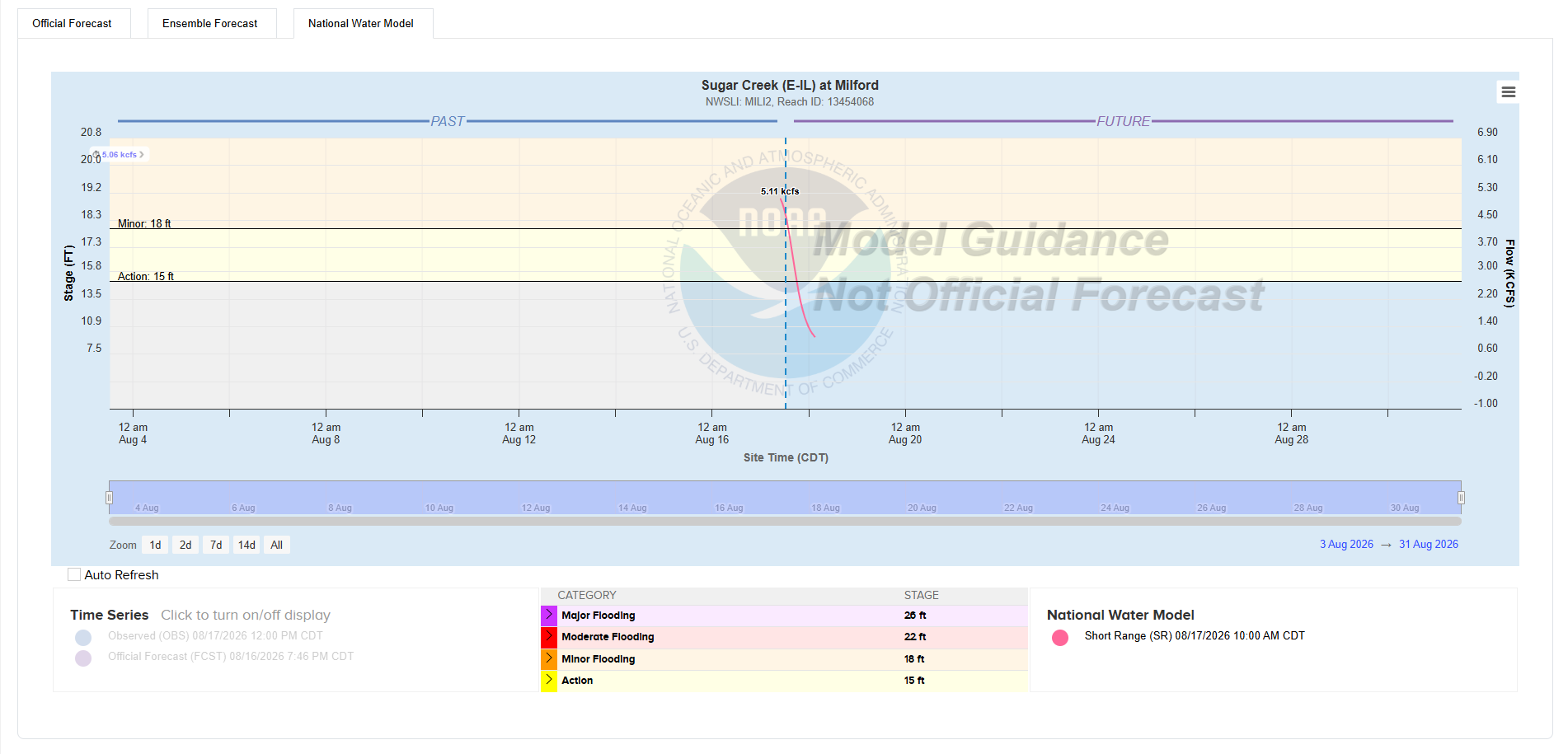
- NWM Reach Navigation: Built navigation and visualization tools across National Water Model river reaches
- NRLDB Integration: Migrated from database dump files to direct cross-contractor API integration
- HEFS Services: Delivered interactive visualization of dynamic HEFS charts and maps
- Mobile-Friendly Enhancements: Improved responsive design and usability across mobile devices
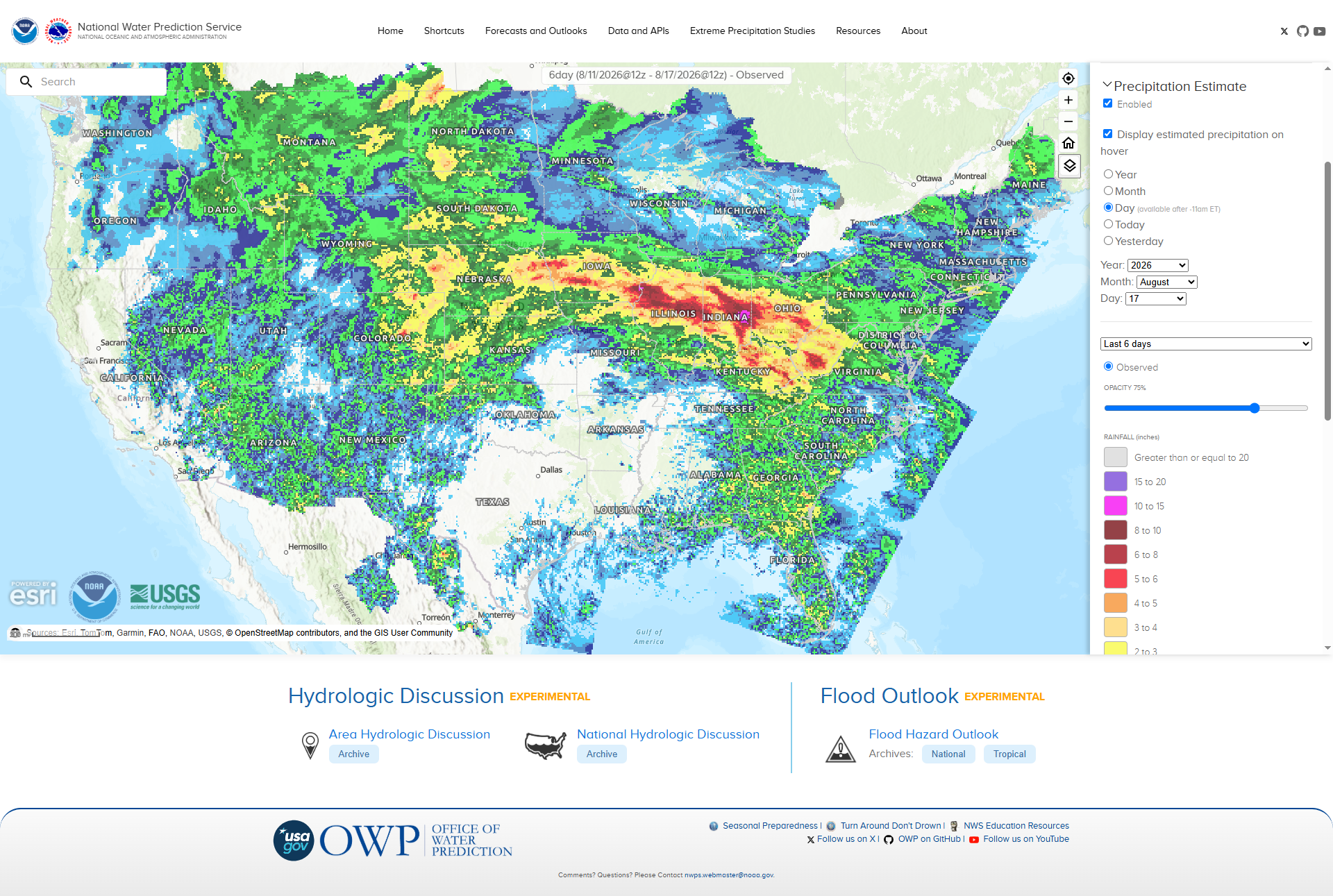
- Quantitative Precipitation Estimates (QPE): Delivered precipitation estimation using OSU-provided climate normals. Refined display resolution and smoothing for improved clarity
- Rivers-at-a-Glance: Delivered a multi-stream visualization tool displaying selected data at selected points across river systems
- FIM100: Providing FIM data to 100% of US residents, this massive undertaking supported by the Bipartisan Infrastructure Law is available to the public through the NWPS platform