
Flood Inundation Mapping
Status: Successfully assimilated into the National Water Prediction Service (NWPS)
Project Description
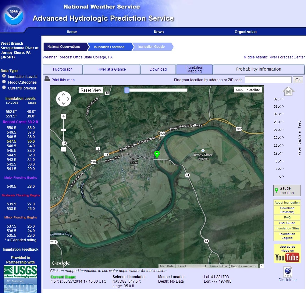
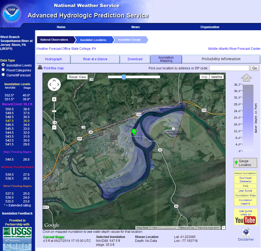
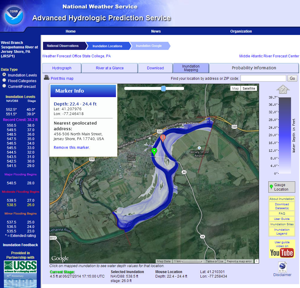
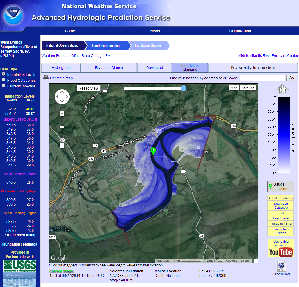
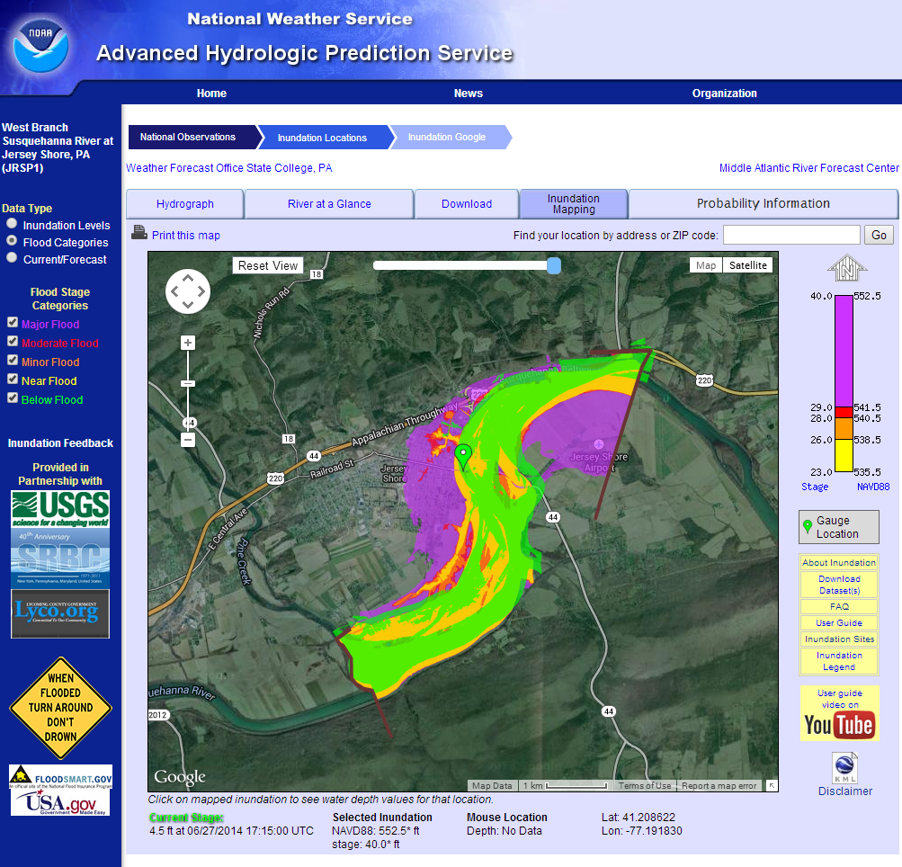
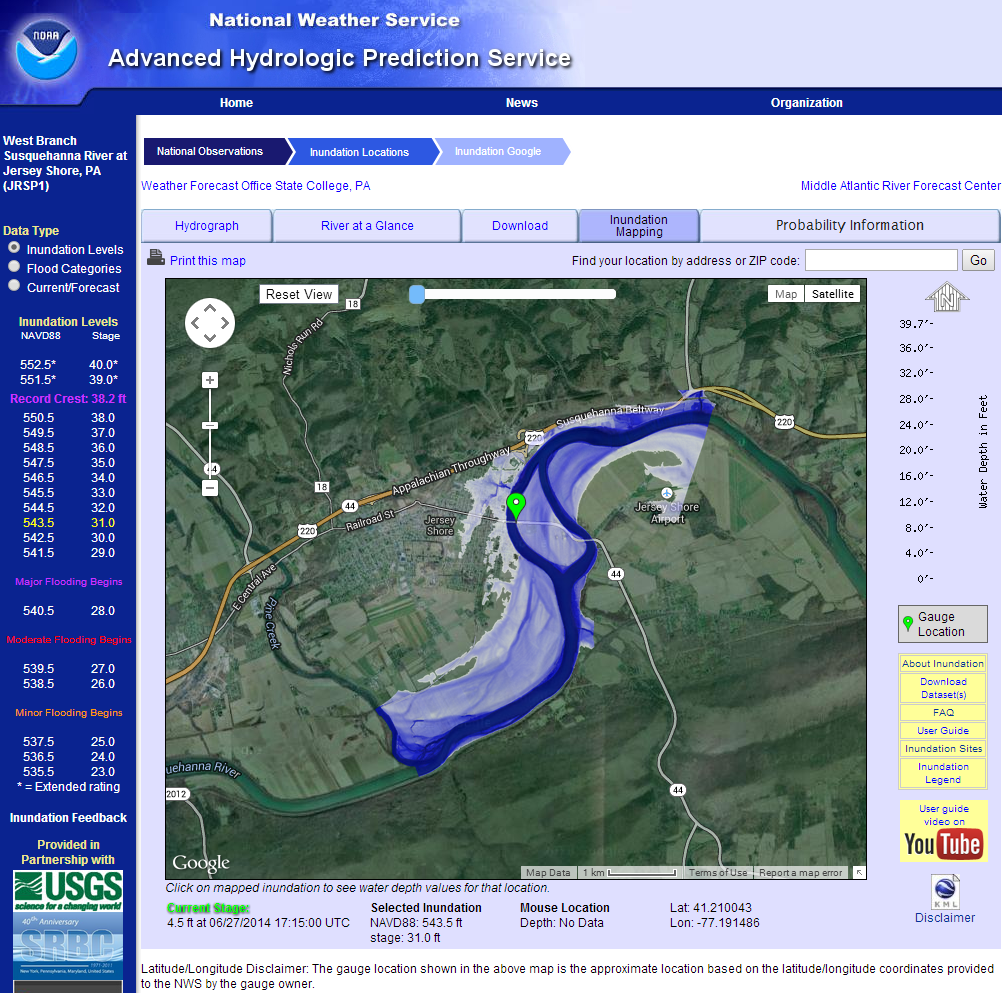
Orion partnered with the National Weather Service (NWS) Office of Hydrologic Development to design and develop the Flood Inundation Mapping Interface, an innovative web-based GIS application that transformed how flood inundation information is communicated to emergency managers, decision-makers, and the public.
The application was the first interactive platform to display flood inundation maps over Google Maps, providing users with an intuitive, map-based visualization of the anticipated spatial extent of flooding for forecast river stages. By combining hydrologic forecasts with geospatial technologies, the system significantly enhanced situational awareness and improved access to actionable flood information.
Developed as part of the Advanced Hydrologic Prediction Service (AHPS) web suite, the interface integrated flood inundation mapping directly into National Weather Service operations. The project's success ultimately led to its assimilation into the National Water Prediction Service (NWPS), where its capabilities continue to support nationwide water prediction and flood forecasting efforts.
Project Details
Client:
NWS, NOAA, USACE, USGS & FEMADate:
2009-08-25Category:
Web designProject URL:
Flood Inundation Mapping InterfaceOrion’s Contributions
-
Designed and developed a web-based GIS platform for interactive flood inundation mapping.
-
Pioneered the first operational implementation of flood inundation mapping displayed through Google Maps.
-
Integrated flood inundation products into the National Weather Service’s Advanced Hydrologic Prediction Service (AHPS) web environment.
-
Developed scalable mapping workflows supporting national deployment across multiple forecast locations.
-
Collaborated with federal partners to ensure accurate visualization and seamless integration with operational hydrologic forecasting systems.
Project Impact
The Flood Inundation Mapping Interface significantly advanced operational flood communication by providing interactive, geographically referenced flood forecasts accessible through a modern web interface. Orion developed 190+ operational flood inundation mapping sites, laying the foundation for a nationally scalable program that continued to expand in subsequent years.
The project was delivered through close collaboration with the National Weather Service Office of Hydrologic Development, the Office of Climate, Water, and Weather Services, the U.S. Army Corps of Engineers, and the U.S. Geological Survey. The resulting system became a key component of the National Weather Service’s flood information services and laid the groundwork for capabilities that continue today within the National Water Prediction Service.